Nyairo explores increasing local food to university, promotes sustainability
Dr. Risper Nyairo is working to change the future of sustainability in the Platteville area, which starts in part by reconstructing the past. Nyairo, a postdoctoral scholar in the University of Wisconsin-Platteville’s Environmental Sciences and Society program, is conducting a feasibility study on the potential of linking more local producers to the university’s Dining Services, in order to increase local food offerings and promote sustainable practices within the local watershed.
“The project was born out of the idea that UW-Platteville’s Sustainability Office established that the students would like local foods provided on campus,” said Nyairo. “Of course, this is not a novel idea, given that the campus is a member of AASHE [The Association for the Advancement of Sustainability in Higher Education]. It’s already established that getting local produce will help with some of the challenges of global supply chains and reduce our carbon footprint, not to mention the costs of transportation. Also, people like to know where their food actually comes from, and it also helps them to get more fresh food.”
Nyairo is studying the local Rountree Branch watershed, which encompasses the entire area drained by the nearly 18-mile Rountree Branch stream and is a mix of farmland, developed area – including the UW-Platteville campus – and woody and grassy areas. Approximately six miles of the stream is designated by the Wisconsin Department of Natural Resources as a Class I Trout Stream, containing fishable populations of brown trout. This makes it crucial, Nyairo says, to look at the actions that affect the water running into the stream.
Nyairo’s first step was to delineate the boundary of the watershed and then collect historical information of the region. This included aerial photographs, land ownership records, mining data, the General Land Office original vegetation survey, the Wisconsin Land Economic Inventory (Bordner survey) and more. All of this establishes a baseline so that she can determine what has changed and implications for the future.
“This research looks at land that has changed, and in order to talk about a change, you have to have a reference. We’re looking at the history, because we want to know where we came from in order to see where we are going.”
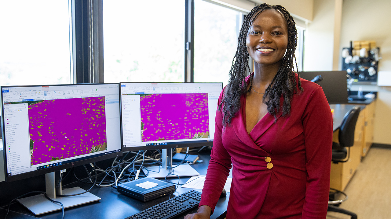
Using GIS mapping software, Nyairo creates layers of environmental data that can demonstrate how a site has been potentially impacted over time, through modeling. These models, she says, can be used as a planning tool to help communities whose livelihood relies on the land and natural resources. Collaboration in model-building can also teach students how to relate to the people with whom they share natural resources.
“I want my students to realize that we are all players in environmental management,” said Nyairo. “I want them to appreciate that we, as humans, are the ones making these changes. Do we want to continue in this trajectory of historical practices which are destructive to the environment, or do we want to make better changes for the future?”
Nyairo’s research is funded in part by the Dairy Innovation Hub. Launched in 2019, the hub harnesses research and development at UW-Madison, UW-Platteville and UW-River Falls campuses to keep Wisconsin’s dairy community at the global forefront in producing nutritious dairy products in an economically, environmentally and socially sustainable manner. It is supported by a $7.8 million annual investment by the state of Wisconsin.